


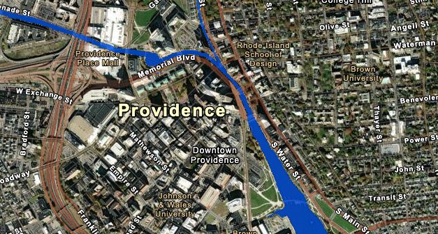
The National Oceanic and Atmospheric Administration (NOAA) released data tracking rising sea levels and coastal floodings in the Providence area. As global warming continues to drive extreme weather conditions—notably causing an upsurge in rainfalls and flash floods—NOAA estimates that the mean water level in recent years will be virtually tripled by 2050.
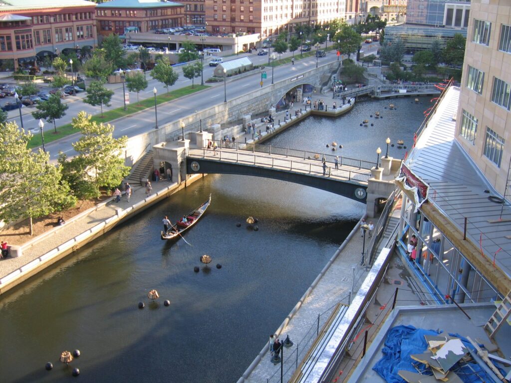
Using a mix of both federal and municipal funds, the City of Providence has initiated the Providence Riverwalk Resilience Project, which aims to elevate and renovate the Provident Riverwalk in response to the climate crisis. According to the City’s website “The project is currently at 30% design,” and projected to end by 2027.
Below are some of NOAA’s findings:
0.38 — the observed mean water level in feet in 2020
1.28 — the predicted mean water level in feet by 2050 based on observational data
2.46 — the median predicted water level in feet by 2080 based on modeled scenarios
3.71 — the median predicted water level in feet by 2100 based on modeled scenarios
~2 — the water level in feet that would spill onto the Providence Riverwalk
19 — the record numbers of days in 2024 that the water level rose above 1.834 feet
5.2 — percent of land in the Providence county has a 1% annual probability of flooding
Kendra Eastep is a Brown University SPRINT Fellow at The Providence Eye. She studies History and English, as well as working as a staff member for The Brown Daily Herald and The College Hill Independent.
Want to comment? Click!